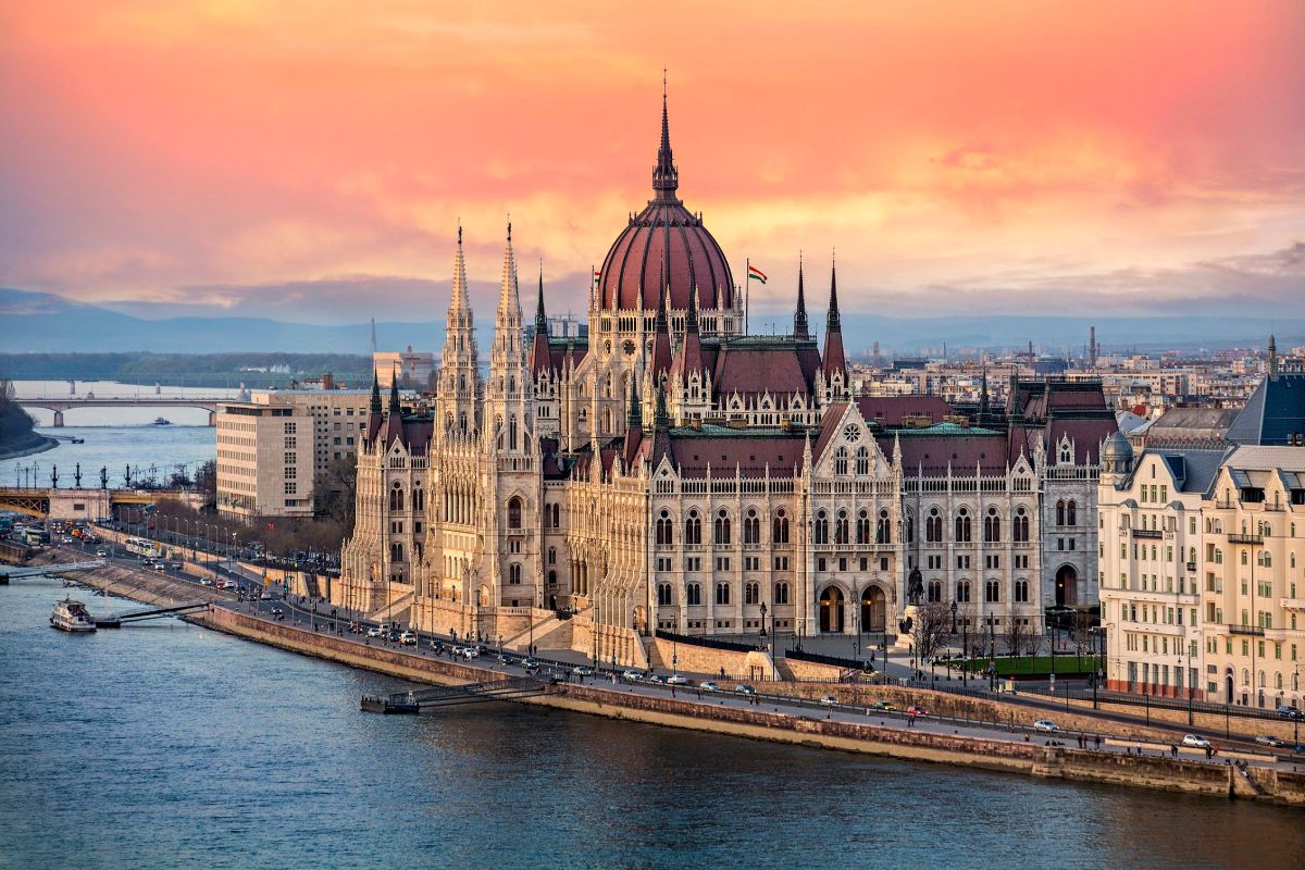
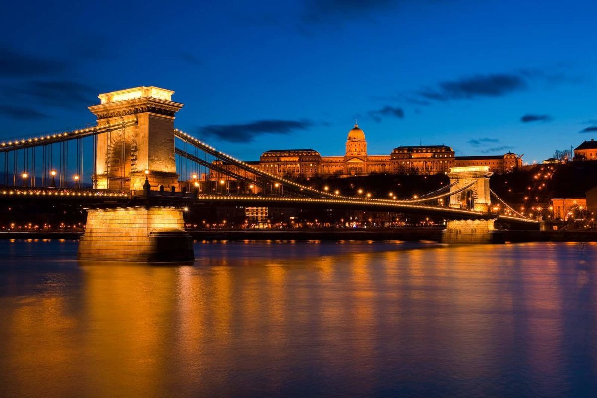
Budapest
City coordinates: 47.5 19.0833
yventojų skaičius (2019 m.): 1 700 000 (metropol. 3,3 mln.)
Link to the city’s website
Next
Previous
Briefly about Hungary...
Where it is located: in Central Europe
Area: 92 966 km
2
Highest location: Kékes 1014 m
Lowest point: pne Tisa river 78 m
Longest rivers: Tisza (579 km total length 966 km in Hungary), Danube (Danube, 420 km in Hungary, total length 2850 km)
The largest lake: Balaton 590 km
2
The form of management: parliamentary republic
Administrative division: 19 counties (megye), 23 city districts (megyei varos) and capital (fovaros)
Population: 9,8 mln., urban 71% density 106 people/km
2
; life expectancy 76 years (women 80, men 72)
Ethnic groups: Hungarians 92%, Roma 2%, others 6%
Official language: Hungarian
Literacy: 99%
Religions: Roman Catholics 37%, Calvinists 12%, Lutherans 2%, others 3%, undefined 27%
Currency: forints (HUF)
GDP 1 pers./year: 29 500 US $
Foreign trade balance (2019):
3,802 billion US $
HDI (Human Development Index 2019): 0.845
Happiness Index (place in the world in 2020): 53
Big Mac index (2020 m.): 2,89 US $
Larger cities:
(population)
• Debrecen 202 000
• Szeged 161 000
• Miskolc 155 000
• Pécs 144 000
• Győr 130 000
• Nyíregyháza 117 000
• Kecskemét 110 000
• Székesfehérvar 97 000
• Szombathely 77 000
The most important airport: Ferihegy (Budapest)
View others users travel experiences in this country